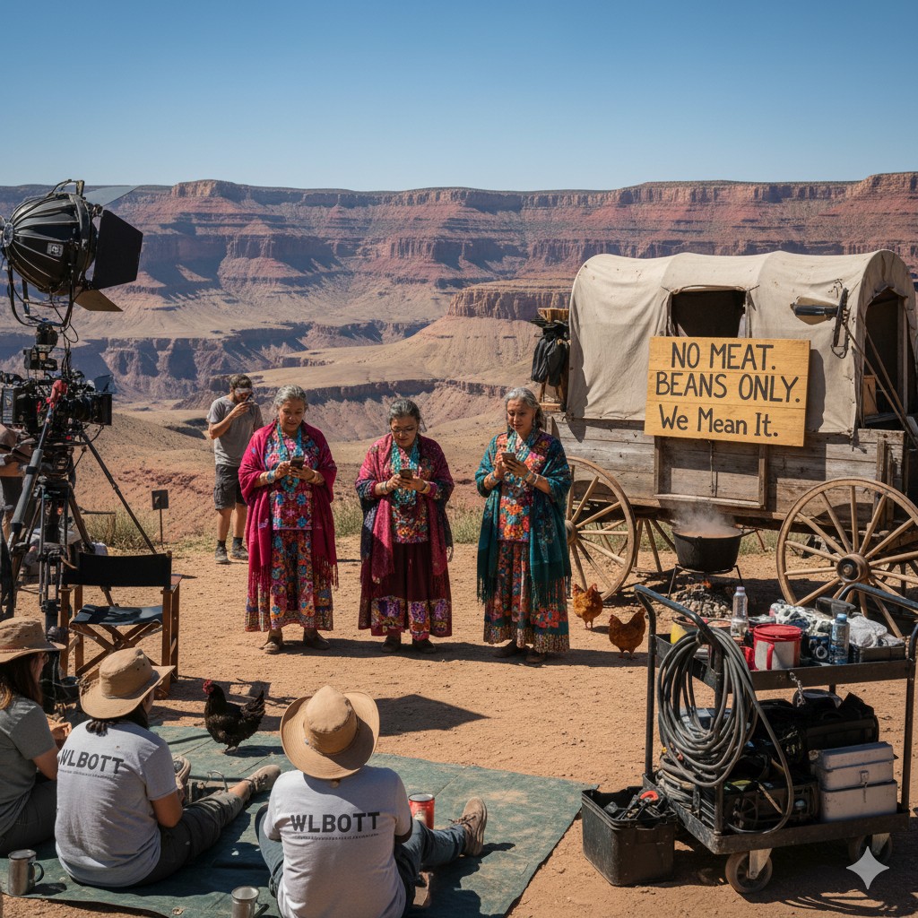
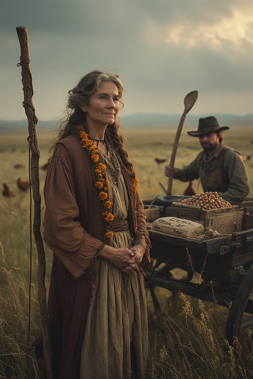
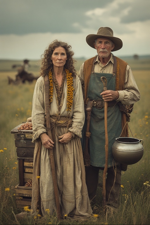
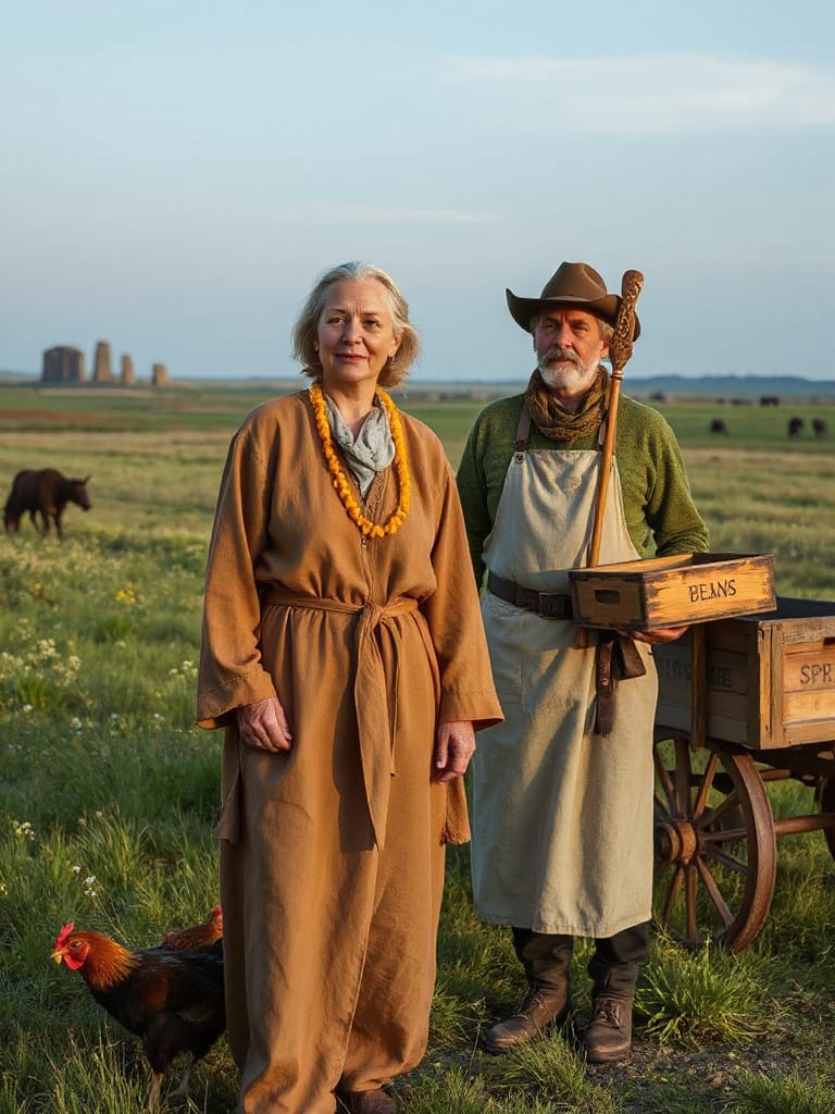
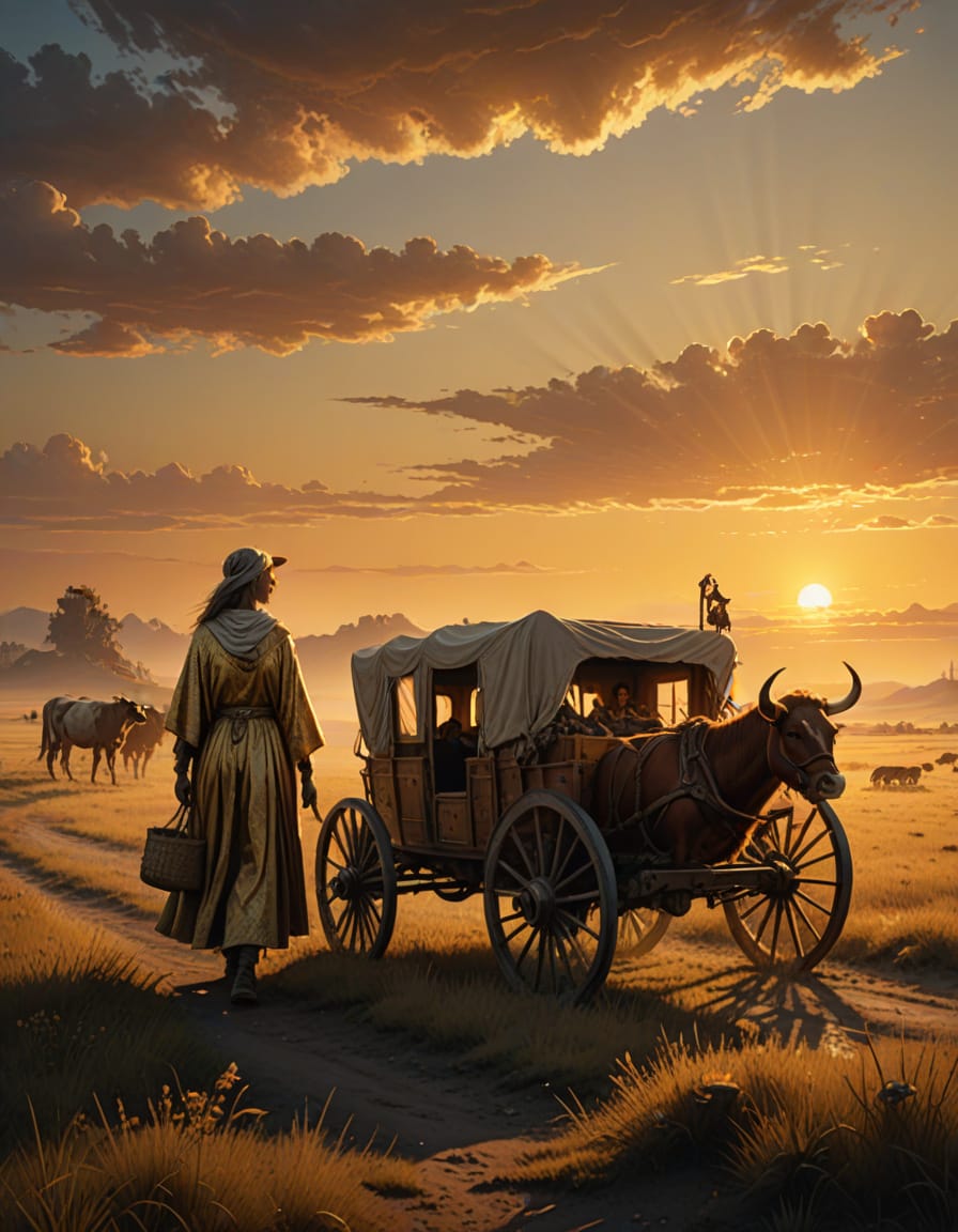
Today Elder G and I are scouting West Texas locations for the filming of our remake of Macbeth. I’m tagging along as the chuck wagon cook, while Elder G does the heavy lifting.
Elder G ask of us the following:
“Please do not disturb her, for she moves entire civilizations one millimeter at a time.”
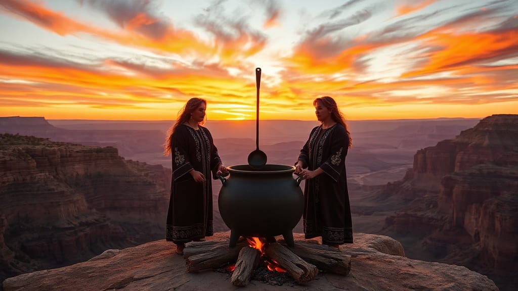
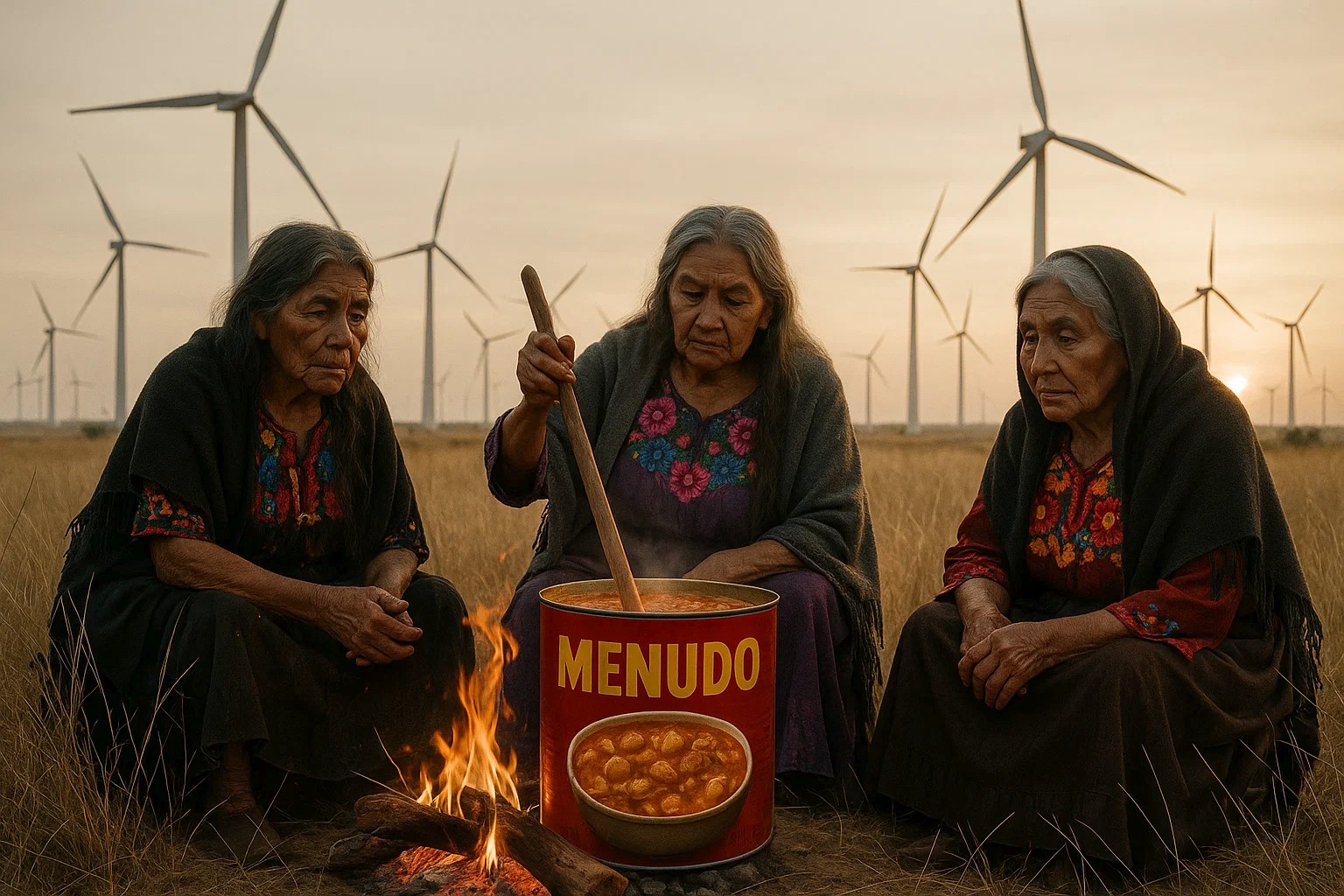
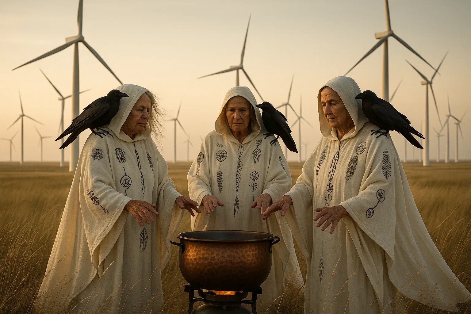
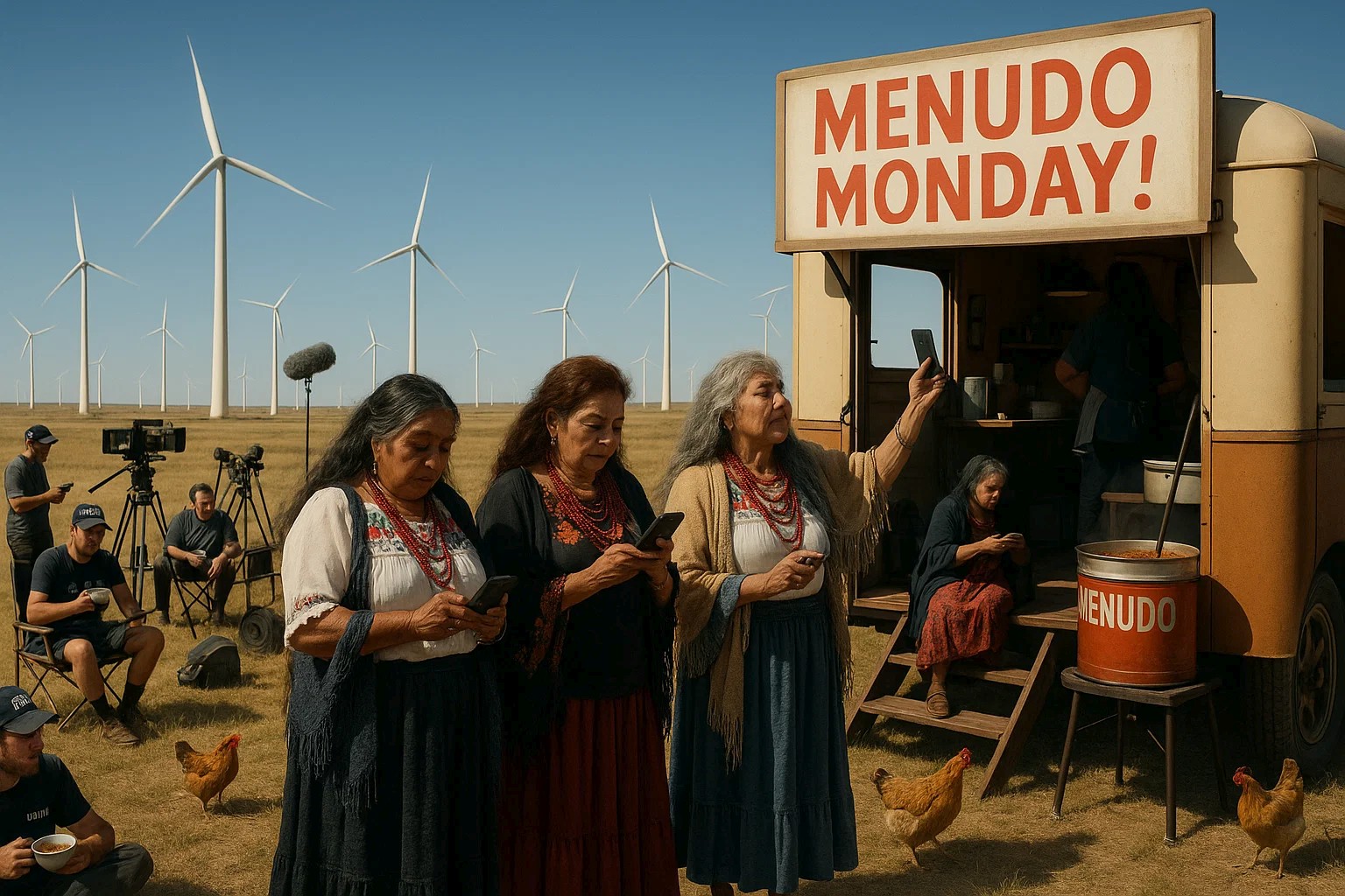
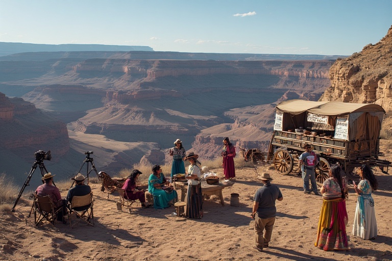
Specifically, we’re looking for a location to shoot Act IV, Scene 1, where the witches are stirring the pot. In our remake, we have three wise, but scary brujas. For their magic brew, they start with a base of menudo, which has plenty of bad mo-jo all on it’s own.
Elder G suggested the following three West Texas locations:
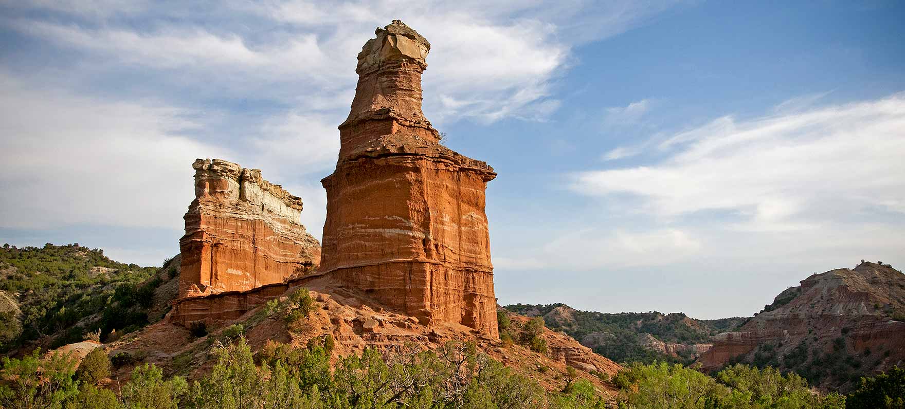
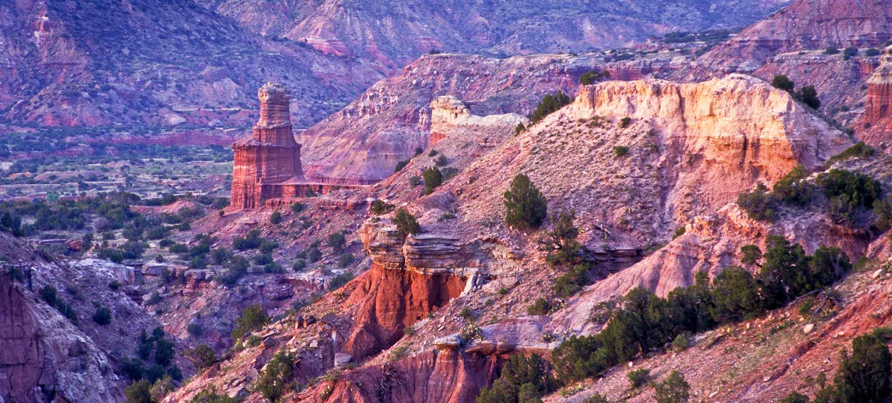
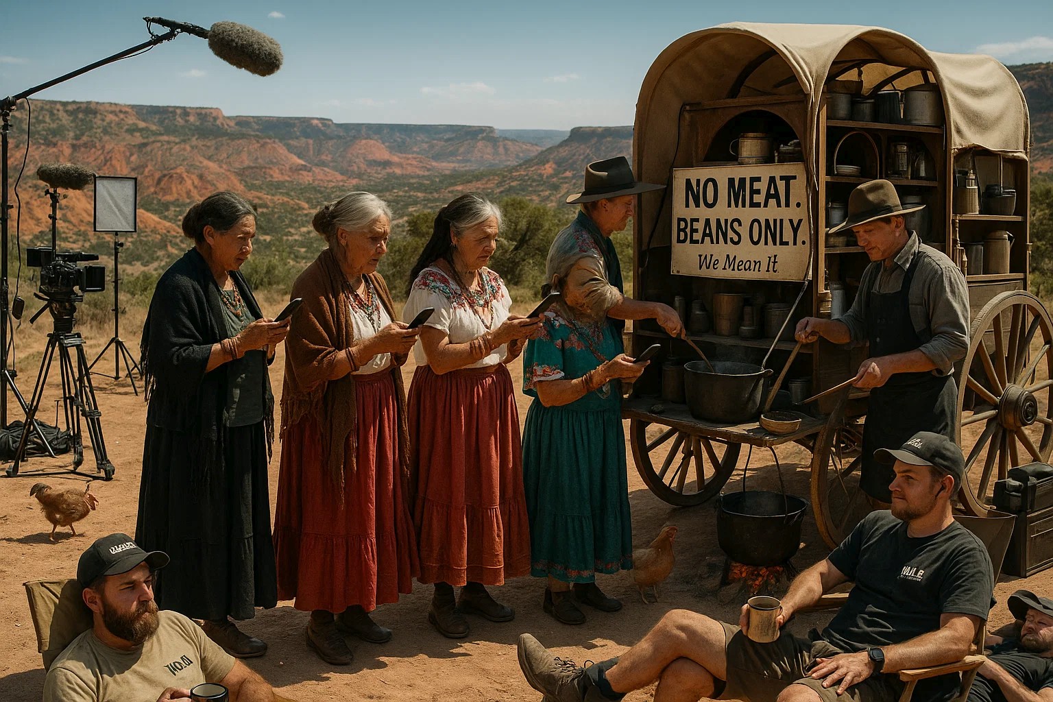
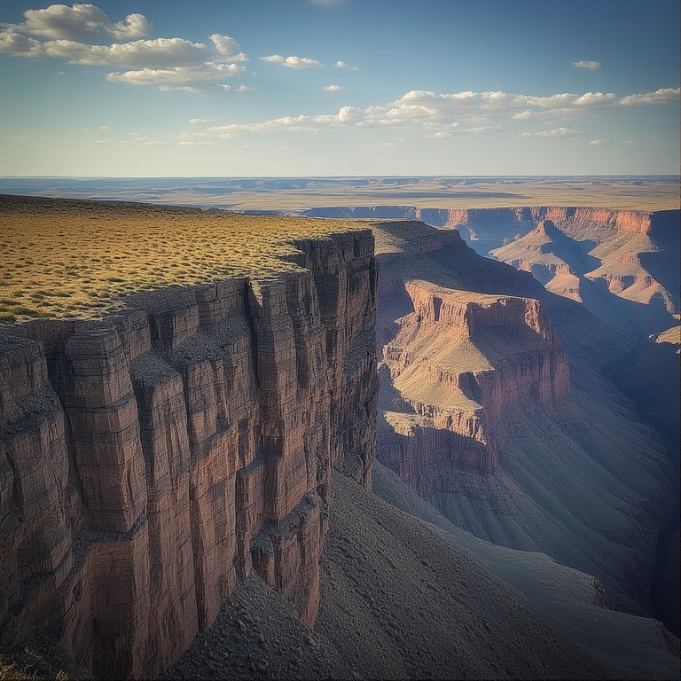
1) The Palo Duro Rim
The second largest canyon in America. Jaw dropping. Terrifyingly indifferent. Perfect for prophetic, unsettling whispers… and where Banquo’s ghost feels very at home.
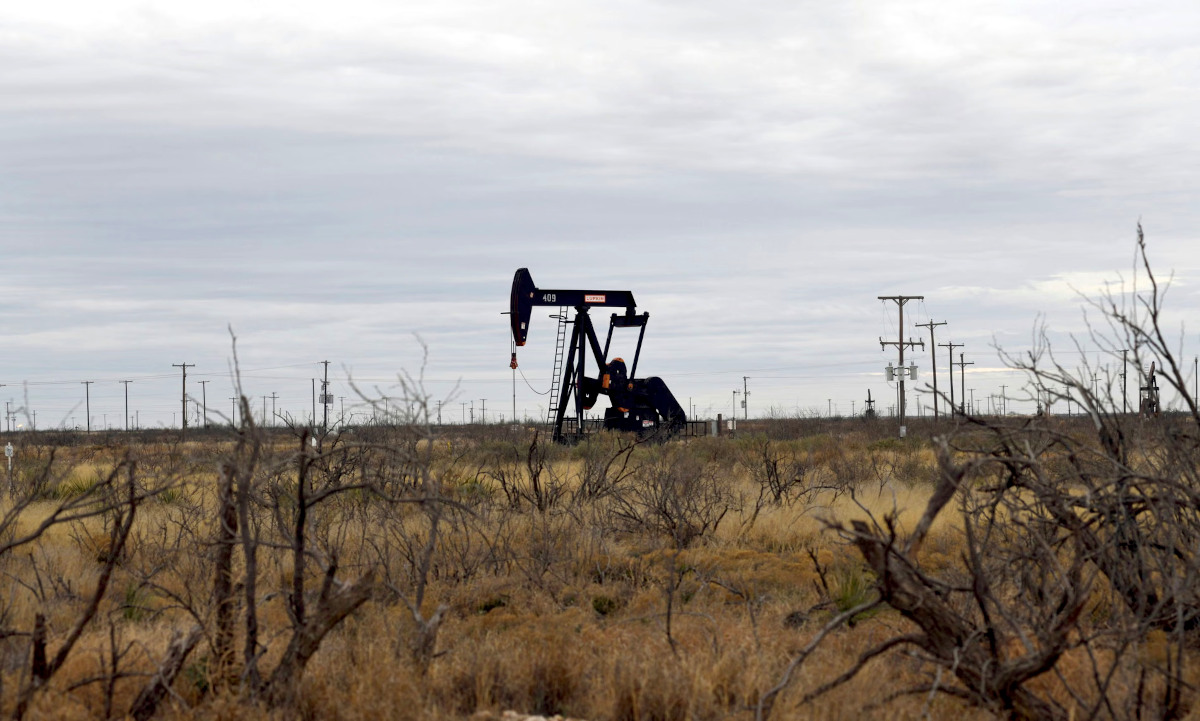
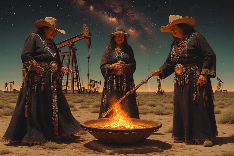
2) The desolate oil pumpjack flats outside Pecos
Bleak. Mechanical. Cursed by capital. This is where the brujas stir cauldrons full of Exxon lifeblood beneath sky as blank as corporate denial.
The air fryer could even make cameo sense here.
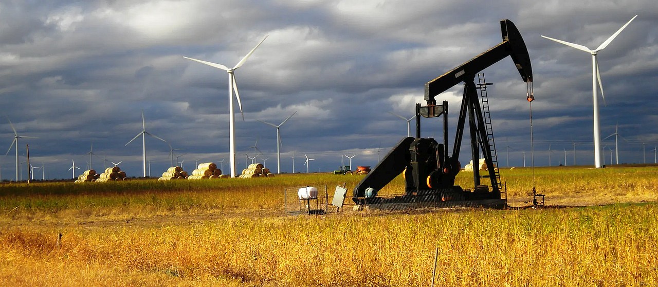
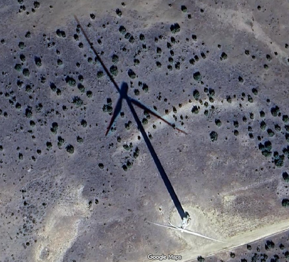
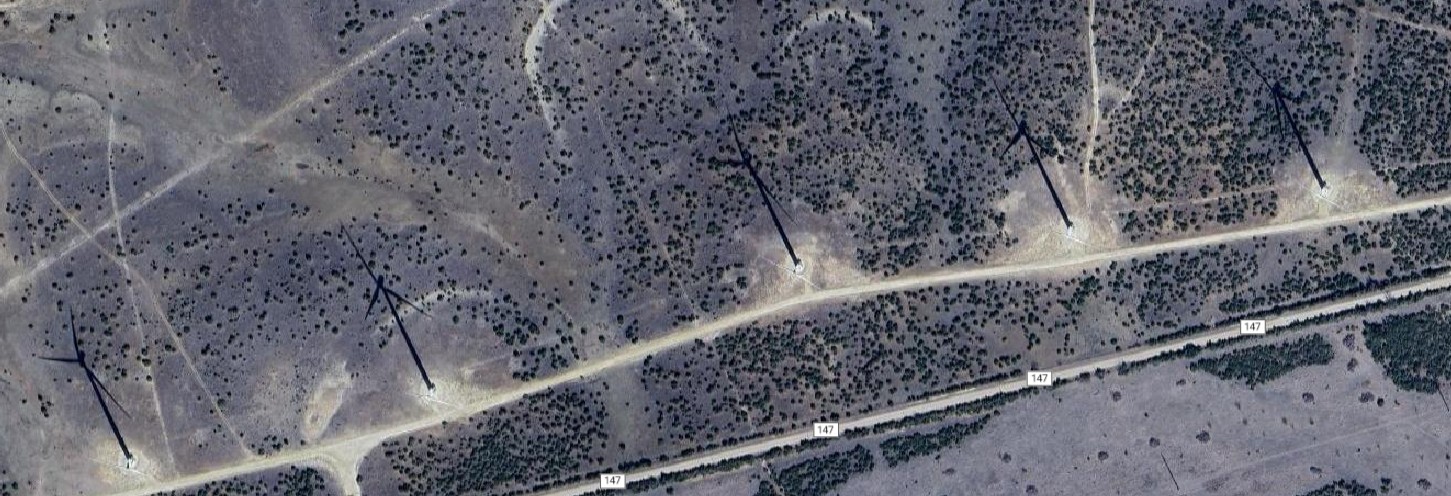
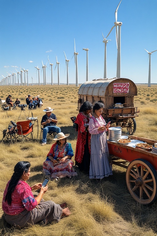
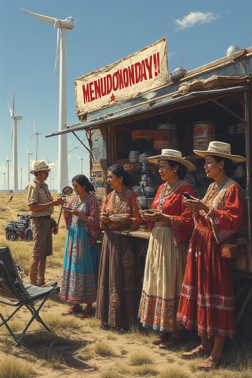
3) The wind turbine fields between Sweetwater and Roscoe
Gigantic white blades. Turning like doom. Clockwork fate. This is destiny as green tech dystopia.
This is where “fair is foul and foul is fair” becomes: “net positive carbon AND doom, simultaneously.”
Allow us to enumerate:
Palo Duro Canyon
Canyon of plenty View of Palo Duro CanyonPeople have inhabited Palo Duro Canyon for about 12,000 years. The Clovis and Folsom peoples first lived in the canyon and hunted large herds of mammoth and giant bison.
Other cultures, such as the Apache, Comanche and Kiowa, used the canyon’s plentiful resources more recently.
These early cultures left behind rock art and bedrock mortars, where they ground mesquite beans and roots for food. Preserve the past by looking at but not touching any artifacts that you see.
Early Spanish explorers probably discovered the canyon, naming it Palo Duro, Spanish for hard wood.
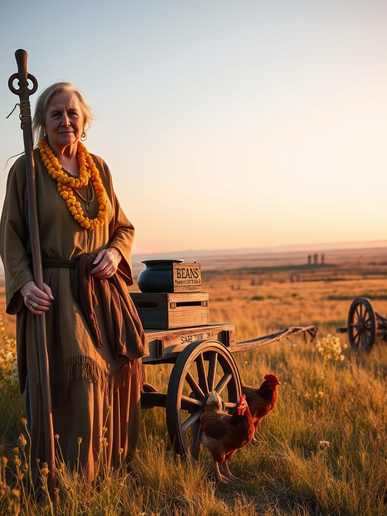
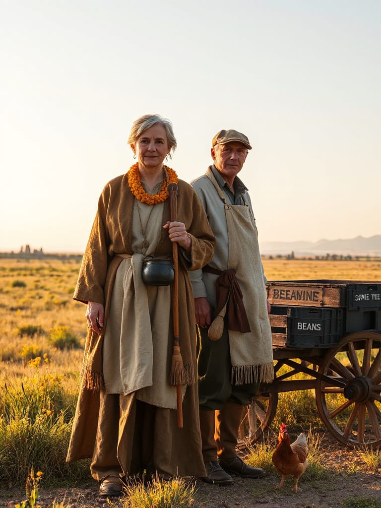
We took a few stills of our bruja actresses (The Lady Brujas) atop the canyon at daybreak.
Palo Duro Canyon is a canyon system of the Caprock Escarpment located in the Texas Panhandle near the cities of Amarillo and Canyon. The second largest canyon system in the United States, it is roughly 25–40 mi (40–64 km) long and has an average width of 6 mi (9.7 km), but reaches a width of 20 mi (32 km) at places. Its depth is around 800 ft (240 m), but in some locations, valley bottom to surrounding hills increases to 1,000 ft (300 m). Palo Duro Canyon (from the Spanish meaning “hard stick”) has been named “The Grand Canyon of Texas” both for its size and for its dramatic geological features, including the multicolored layers of rock and steep mesa walls, which are similar to those in the Grand Canyon. It is part of Palo Duro Canyon State Park. The State Park had 442,242 visitors in 2022.
Here we are, taking a break from filming. The Lady Brujas use this opportunity to see if they have any messages from their agents – any paying gigs coming my way?
Oil Pumpjack Flats Near Pecos
Thousands of abandoned oil wells dot the Permian Basin in west Texas and New Mexico, endangering humans and wildlife. With oil costs plummeting, they’re likely to proliferate. Who is going to cover the cleanup costs?
The term “Oil Pumpjack Flats Near Pecos” refers to the large, flat areas surrounding Pecos, Texas, that are part of the Permian Basin, a major oil-producing region. These “flats” are an area with numerous oil pumpjacks due to the high concentration of oil and gas wells in the basin, not a specific location named Oil Well Flats. This is distinct from Oil Well Flats Trail System, a hiking area in Canon City, Colorado, which is also named similarly but is unrelated to oil fields near Pecos.
Oil and gas fields: The area around Pecos is part of the Permian Basin, which is the highest-producing oil field in the United States.
Numerous pumpjacks: Due to the dense oil and gas activity in this region, you will find many oil pumpjacks across the flat, open terrain.
Gemini
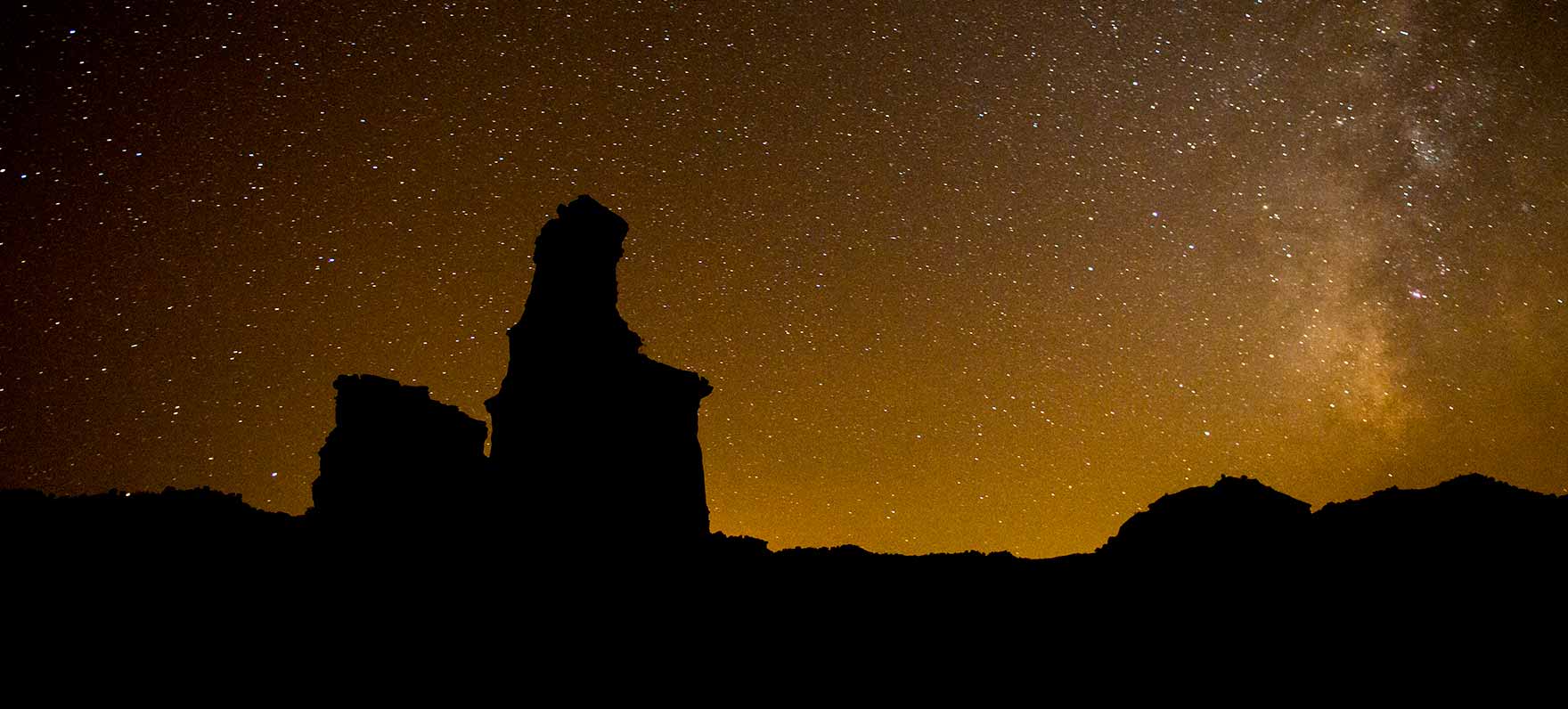
Perhaps a night shoot? The stars are, indeed, bright.
Sweetwater Turbine Fields — Brujas of the Turning Blades
The Sweetwater Wind Farm is a 585.3-megawatt (MW) wind farm in Nolan County, Texas. The facility includes 392 wind turbines and was fully commissioned by 2007. The electricity is being sold to Austin Energy and to CPS Energy of San Antonio.
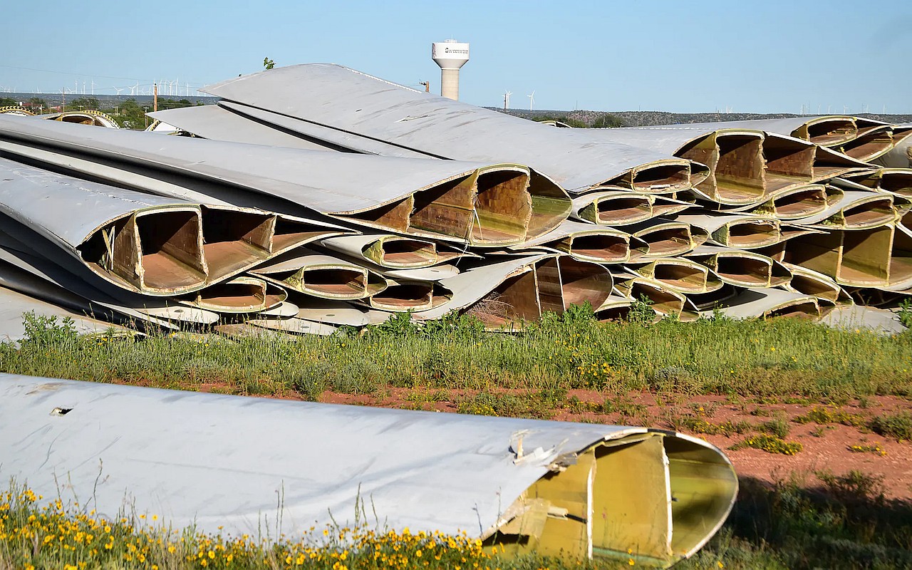
About forty miles west of Abilene on Interstate 20, Sweetwater has unwittingly become home to what is possibly the world’s largest collection of unwanted wind turbine blades.
When forklifts deposited the first of these in a field behind the apartment complex where Pamala Meyer lives, on the west side of town, in 2017, she wasn’t initially bothered. But then the blades—between 150 and 200 feet in length and mostly made of composite materials such as fiberglass with a binding resin—kept coming. Each was cut into thirds, with each segment longer than a school bus. Thousands arrived over several years, eventually blanketing more than thirty acres, in stacks rising as high as basketball backboards. Every few dozen feet, a break among the stacks leads into an industrial hedge maze.
“It’s just a hazard all the way around,” Meyer said. She worries about neighborhood children exploring the unfenced piles and says that stagnant pools of water inside the blades breed swarms of mosquitos. Matt Jackson, who works in a nearby warehouse, has other concerns. The piles create shaded nooks and crannies, perfect for Sweetwater’s unofficial mascot. “It’s just a big rattlesnake farm,” he said.