Elder JA has sparked an interesting rabbit hole. Our research team was curious if Edmonton, CA was considered a prairie.
Absolutely, we are the western part of the Canadian Prairies, and danged proud of it!
In 200x I drove from Nova Scotia to Alberta in a pickup truck loaded up with stuff, looking a lot like Sanford and Sons. The drive through Ontario is “trees and rocks”. It is endless. Then you hit Manitoba and the forest very abruptly stops and beyond you is ….. NOTHING. ABSOLUTELY NOTHING!!! The world is FLAT! For as far as you can see. Not a tree, not a hill, not anything except grass.
I can just imagine the early settlers, after months of battling their way through the forest and streams and rivers and rocks, finally reaching the edge of the forest and thinking, “Heavens to Betsy!!! I came all that way for this???” It’s another 1000 miles before you get any scenery at all.
From Edmonton it is a 2 hour drive to the west before you even begin to see mountains, then finally you get to Jasper. But the mountains angle off to the west, so from Lethbridge, you can see the mountains. My dad used to tell the story of how, after he was posted to the Air Force Base in Lethbridge, he thought he would take his day off and walk over to those hills and have a look around. After an hour of walking, he realized they weren’t getting any closer and at that point he understood what mountains are.
Elder JA
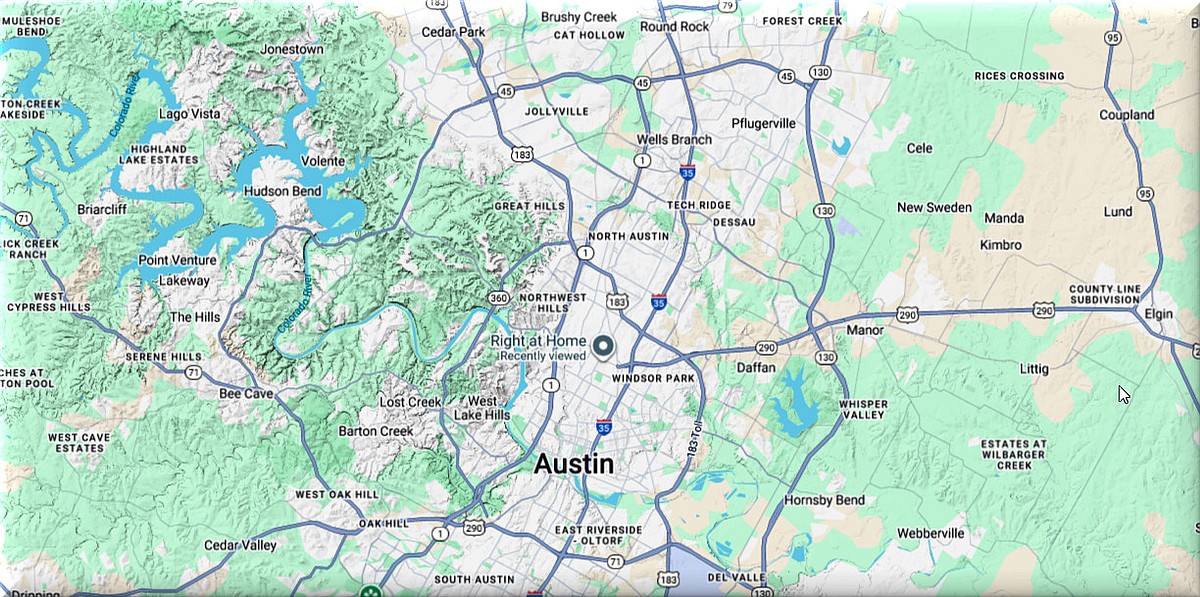
This led the research team to investigate the geography of WLBOTT HQ. The approximate elevation of WLBOTT HQ is 800′.
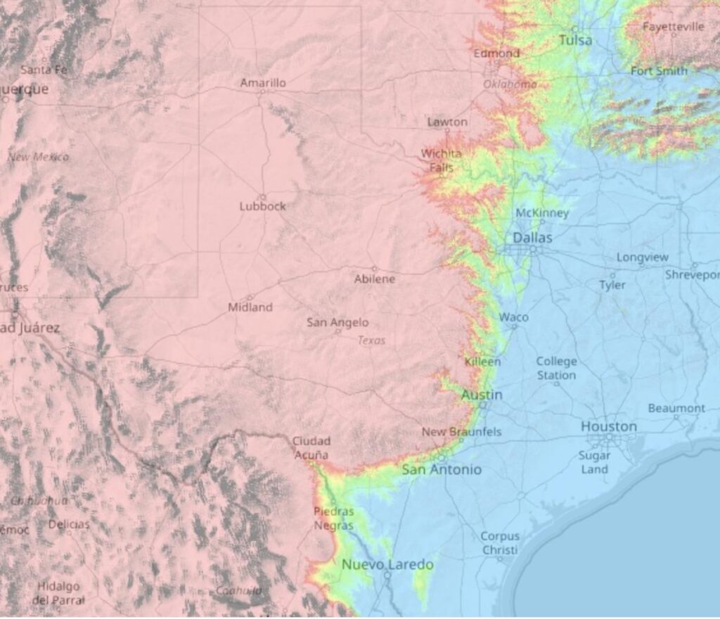
IH35 runs from Mexico to Canada, and connects Laredo, San Antonio, Austin, Dallas/Ft. Worth, and eventually Austin, Minnesota (home of the Spam Museum). One theory (reddit thread) about the location of cities along the IH35 corridor is that springs are more common at the fault line.
Austin sits at the geological crossroads of the Hill Country (to the west) and the Coastal Plane (running to the Gulf of Mexico) to the east.
Elder G Provides Some Clarification
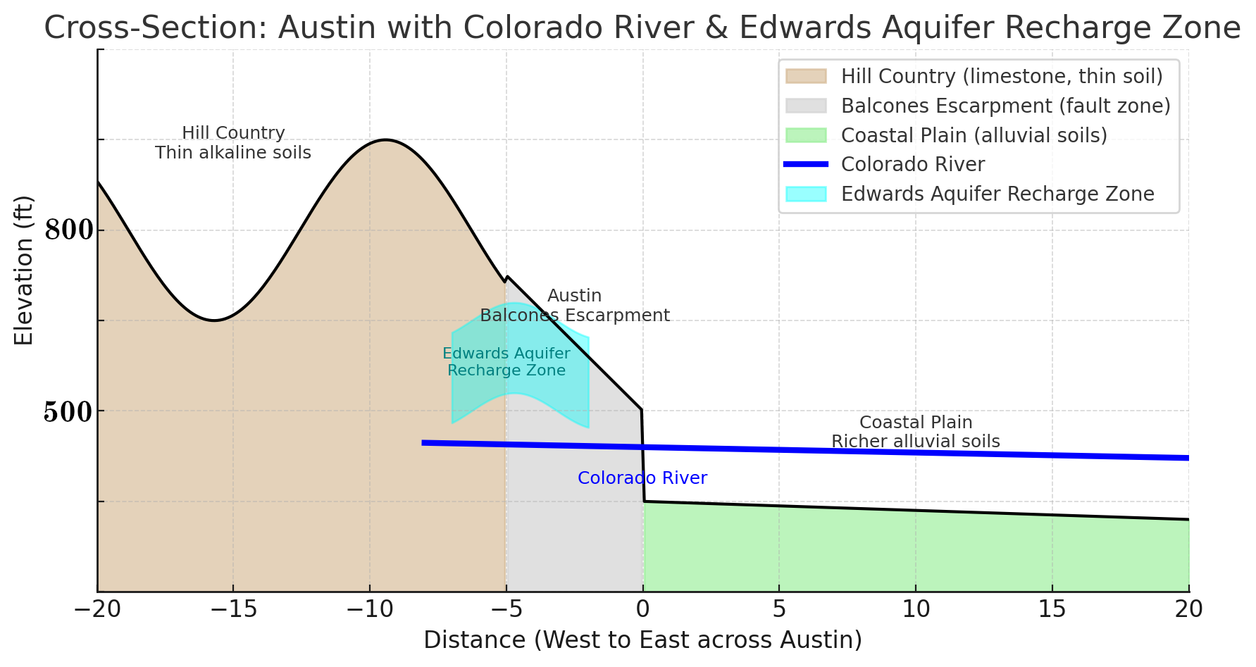
The cross-section with the Colorado River cutting across:
In the Hill Country, it carves canyons and deep channels into the limestone.
At Austin, it crosses the Balcones Escarpment, shaping the city’s geography.
On the Coastal Plain, it meanders across broad floodplains, depositing fertile alluvial soils.
This is why Austin exists where it does—the river provided both water and a natural corridor between two very different landscapes.
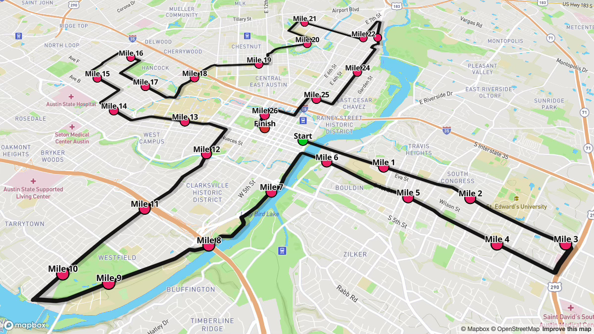
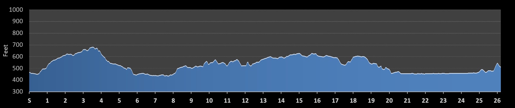
Austin Marathon RouteAustin Marathon Elevation
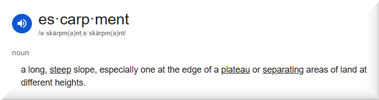
We Get to Use the Word “Escarpment“!
The Balcones Escarpment is a major geologic feature in Central Texas, forming a steep slope or cliff that marks the transition between the Edwards Plateau and the Gulf Coastal Plains. It is part of the Balcones Fault Zone, a series of fault lines that created the uplift and differential movement of the land. This geological formation is significant because it influences topography, controls groundwater movement into the Edwards Aquifer, and historically shaped human settlement in Texas.
– Gemini
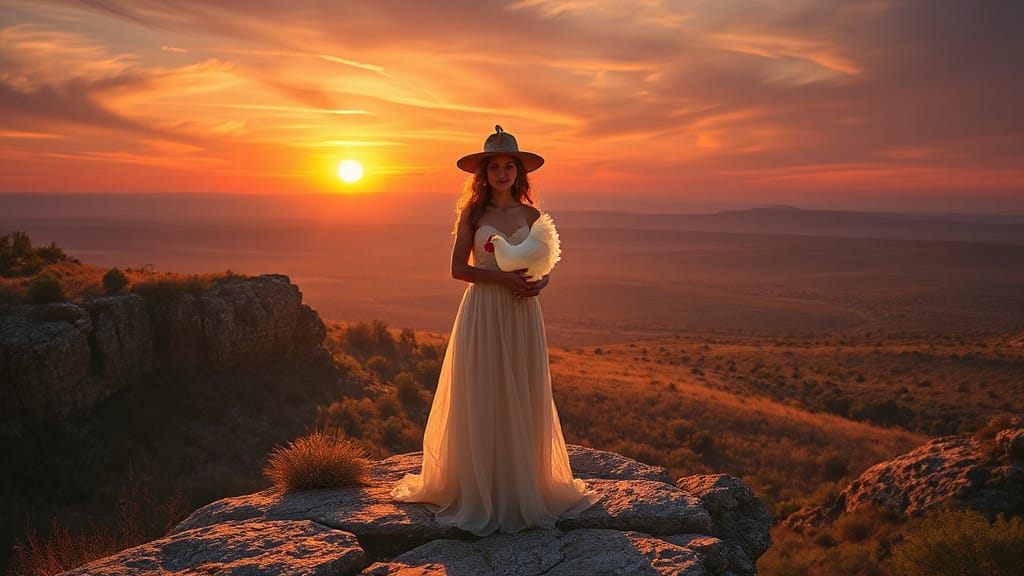
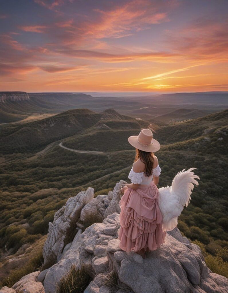
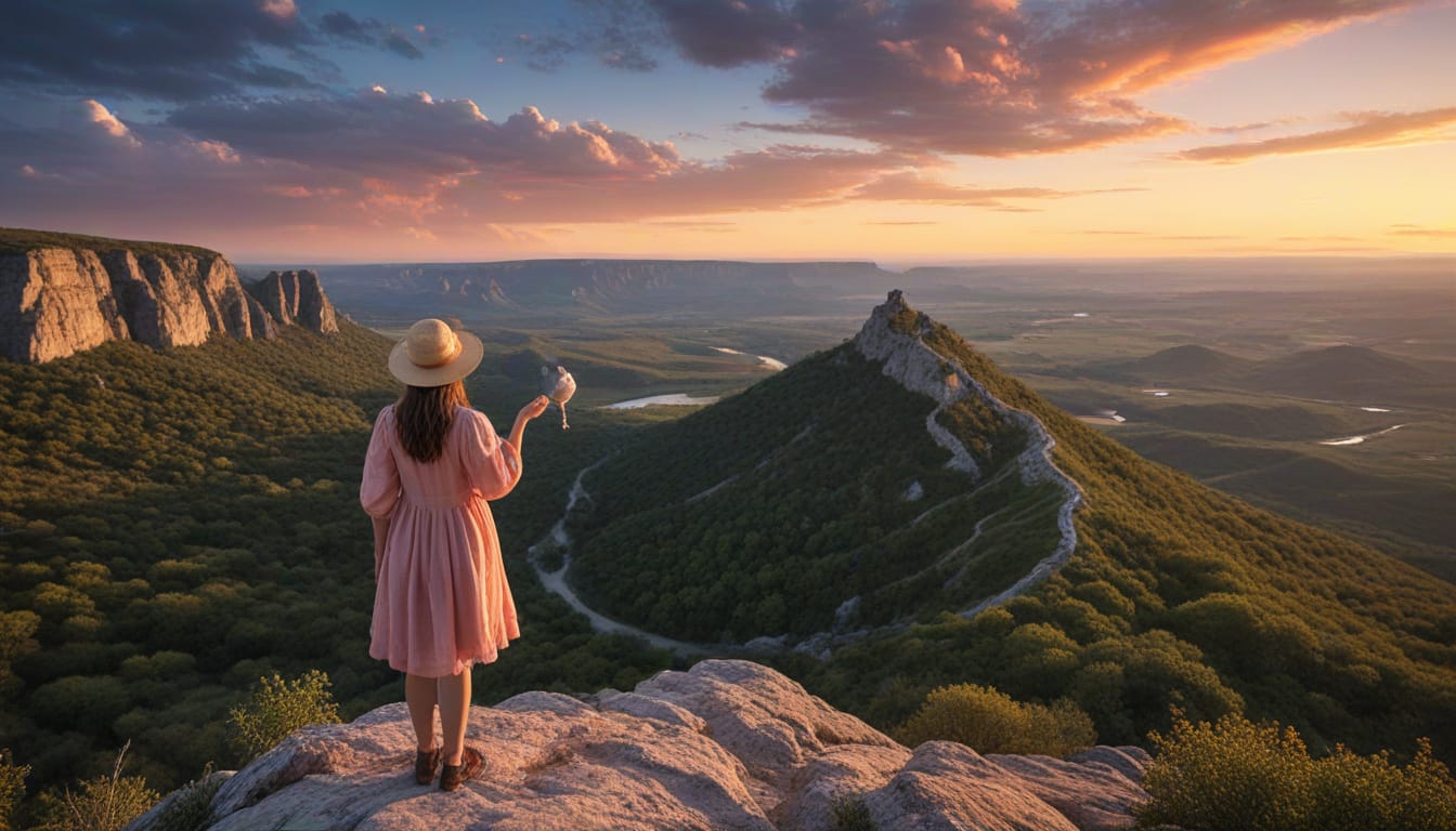
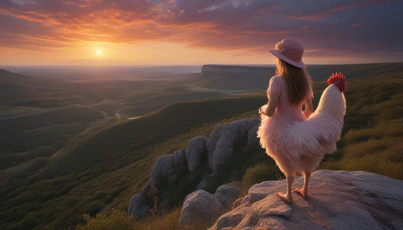
The Balcones Escarpment, which runs through Central Texas. (Chicken for scale)
Balcones Fault
The Balcones Fault or Balcones Fault Zone is an area of largely normal faulting in the U.S. state of Texas that runs roughly from the southwest part of the state near Del Rio to the north-central region near Dallas along Interstate 35. Derived from the Spanish word in architecture for “balcony,” or “vantage point” in geology and nature, the Balcones feature is said to have been named by Spanish explorer Bernardo de Miranda in 1756, part of El Camino Real, or the “King’s Highway” that skirted the fault line.
The Balcones Fault zone is made up of many smaller features, including normal faults, grabens, and horsts. One of the obvious features is the Mount Bonnell Fault.