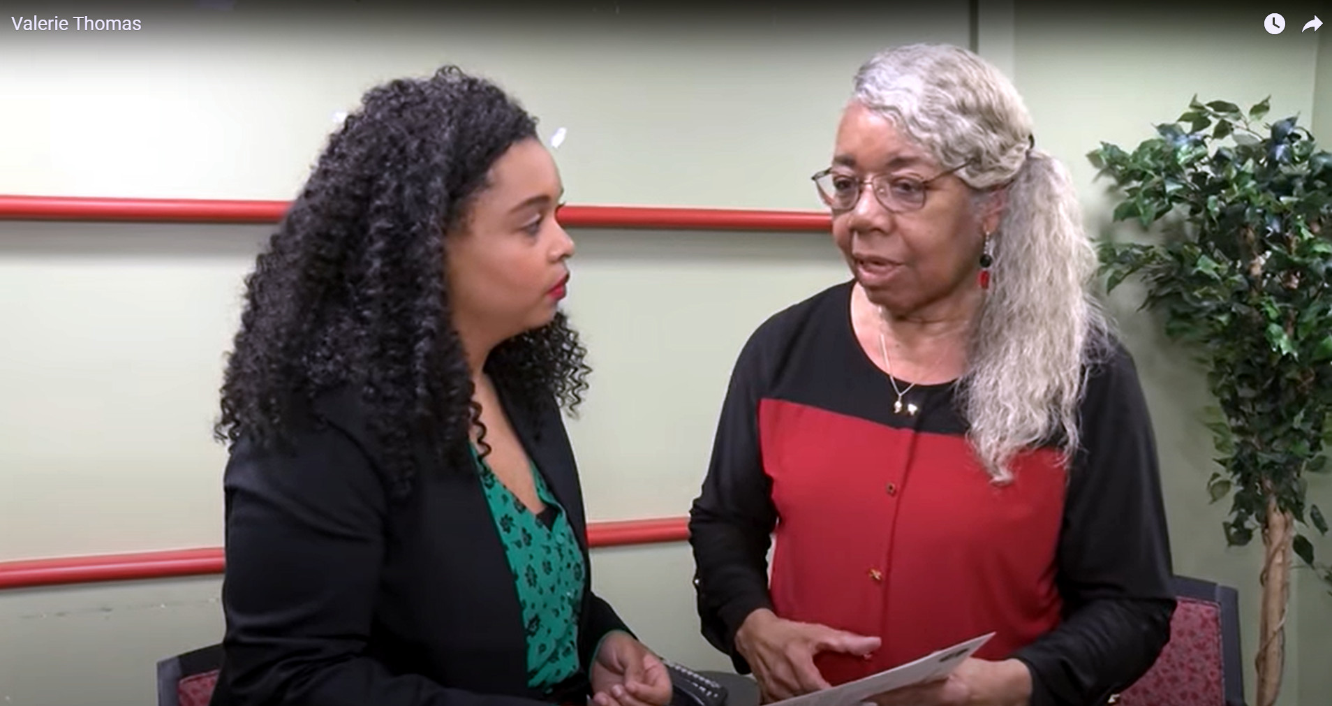
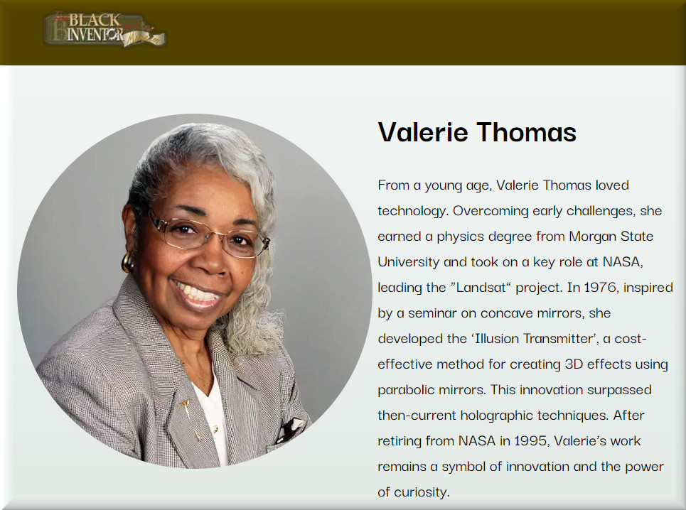
Today we celebrate Valerie Thomas.
She showed that the magic of fascination can often lead to concrete scientific applications for real-world problem-solving. – Black Inventor
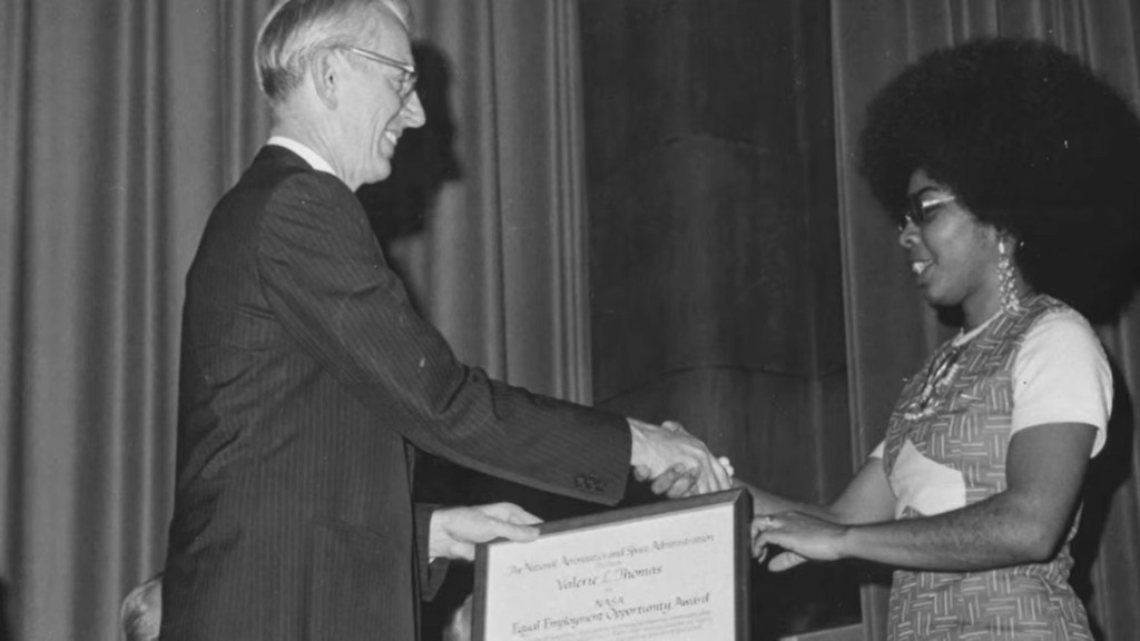
Valerie L. Thomas (born February 8, 1943) is an American data scientist and inventor. She invented the illusion transmitter, for which she received a patent in 1980. She was responsible for developing the digital media formats that image processing systems used in the early years of NASA’s Landsat program. – Wikipedia


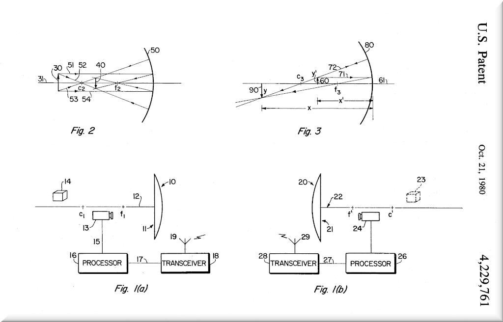
Valerie Thomas’s Patent Related to 3D Imaging
Abstract
A real time illusion transmitter for transmitting three dimensional illusions of an object comprising a first parabolic mirror for producing a real image of an illuminated object, image detection means disposed in a position to receive said real image and adapted to generate video signals for transmission by cable or electromagnetic means, a second parabolic mirror located at a remote site and having associated therewith an image projector for producing an image from signals transmitted from said first parabolic mirror; said image projector projecting an image normal to the principle axis of the parabolic mirror to produce an illusion of the image when reflected from the parabolic mirror.
Google Patents

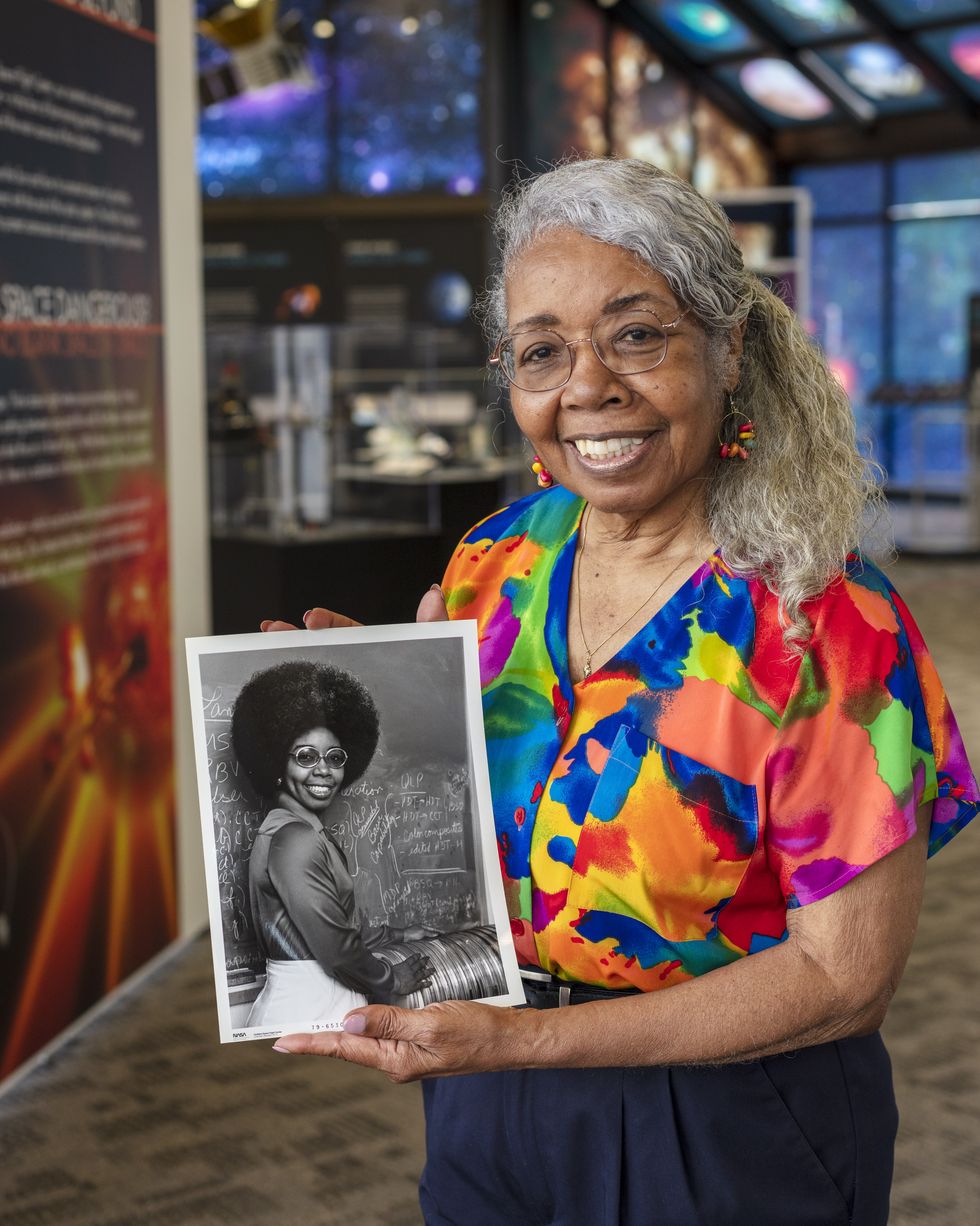
I find this pretty amazing! An 81 year old retired NASA scientist gives back to the student community!
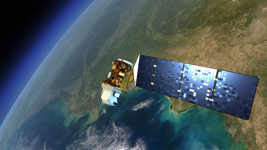
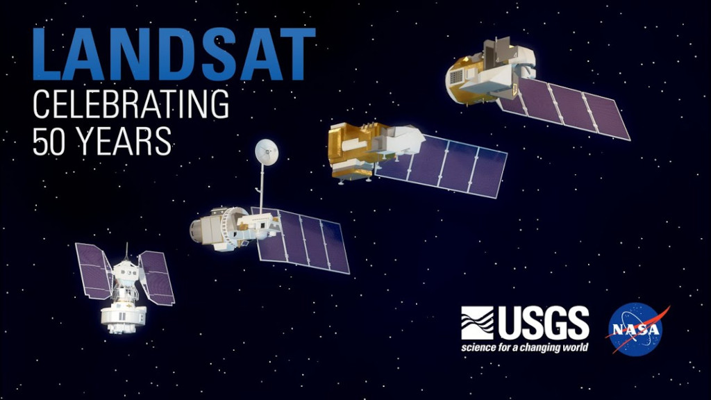
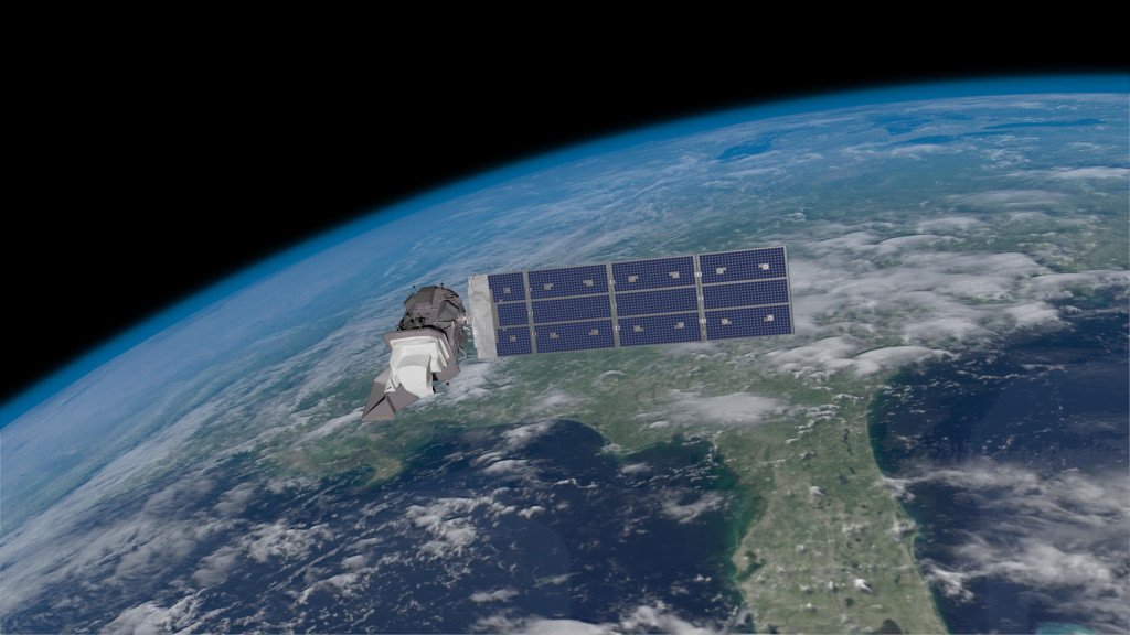
Landsat
The Landsat program is the longest-running enterprise for acquisition of satellite imagery of Earth. It is a joint NASA / USGS program. On 23 July 1972, the Earth Resources Technology Satellite was launched. This was eventually renamed to Landsat 1 in 1975.[1] The most recent, Landsat 9, was launched on 27 September 2021.
In 1965, William T. Pecora, the then director of the United States Geological Survey, proposed the idea of a remote sensing satellite program to gather facts about the natural resources of our planet. Pecora stated that the program was “conceived in 1966 largely as a direct result of the demonstrated utility of the Mercury and Gemini orbital photography to Earth resource studies.” While weather satellites had been monitoring Earth’s atmosphere since 1960 and were largely considered useful, there was no appreciation of terrain data from space until the mid-1960s.
Wikipedia
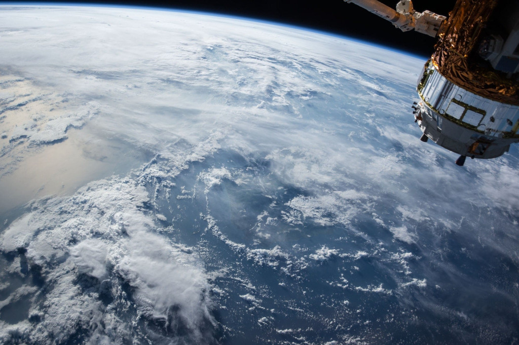
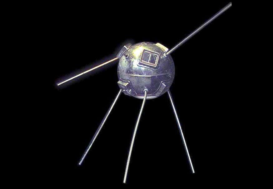
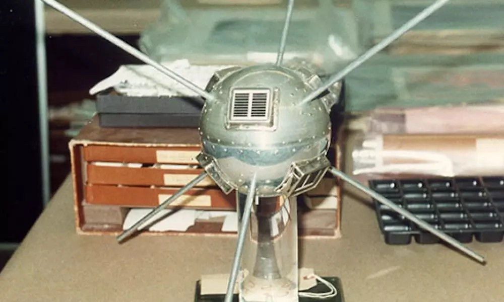
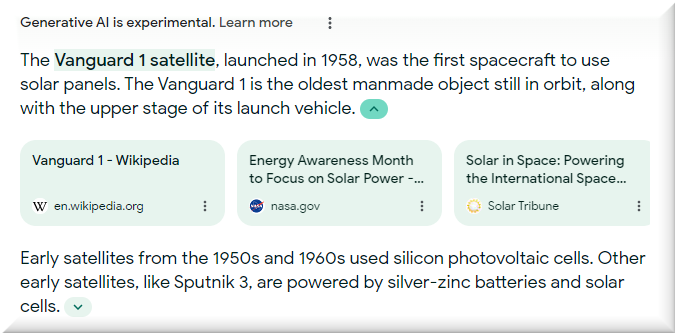
Solar Panels on Satellites
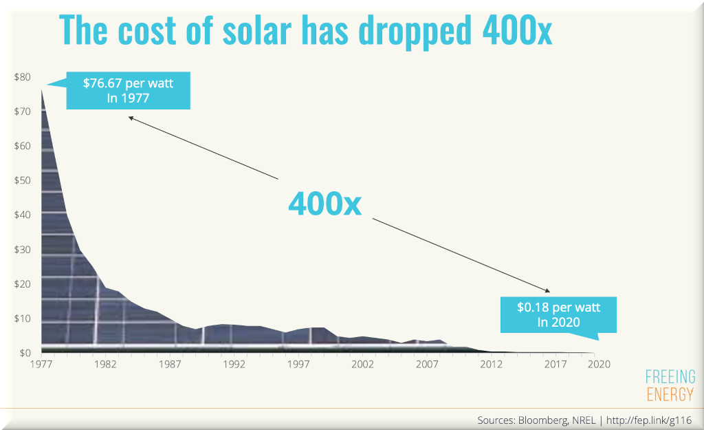
When I see pictures of satellites from the ’60s, I’m fascinated by the early deployment of solar panels. How much did they cost back then? It’s hard to get commercial prices prior to 1975, but here’s some numbers: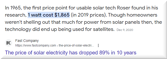
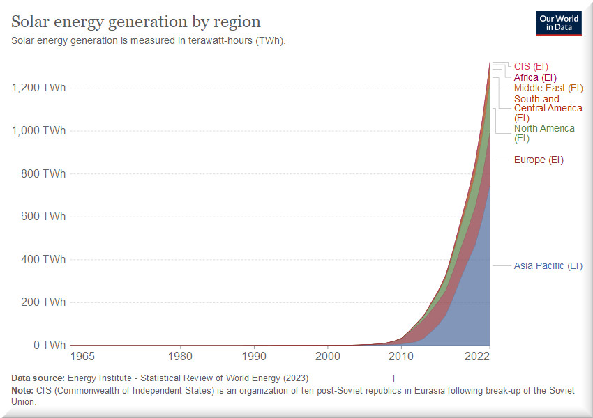
Solar panels have had an incredible growth curve.